

Scoot Spain Guide · Southern Costa Blanca
South of Alicante: flamingos, a lighthouse and an island
The route nobody expects: 20 km south between pink salt flats full of flamingos, a clifftop lighthouse and the boat to the region's only inhabited island. The scooter waits at the port; you eat caldero.
The direction almost nobody takes
Everyone leaves Alicante heading north. Rookie mistake: to the south, the N-332 crosses a natural park of pink salt flats where flamingos live — and ends at a fishing town with a boat to a car-free island.
This guide runs the route stop by stop: the wild Saladar beaches, the tower standing in pink water, the lighthouse with the best view of Tabarca and the shortest crossing to the island. Half the route is natural park.
All on a free, flat national road. The boat is the day's only ticket — and the caldero its only obligation.
The route at a glance
Six stops southbound — then a boat hop. The pink of the salt flats is real.
- Alicante — departure
- Saladar beaches — km 8
- Salt flats · flamingos — km 15
- Santa Pola — km 18 · port
- Cape lighthouse — km 21
- Tabarca island — boat crossing
Stop by stop
Six stops on the way to the island
Salt flats, towers, lighthouse and boat: the most variety per kilometre in the province.
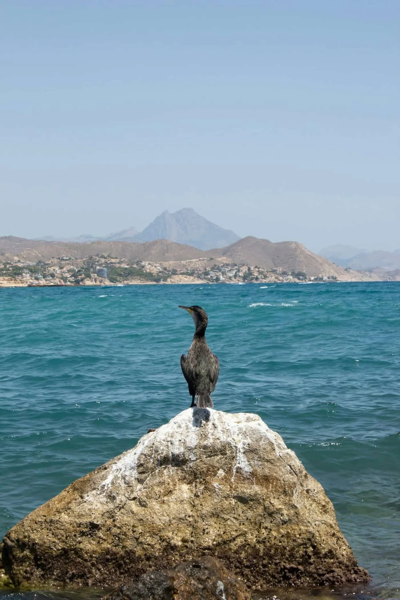 km 8 · Saladar
Stop 1
Urbanova and the Saladar beaches
Minutes out of Alicante, the coast empties: kilometres of dunes and open sand where the city vanishes from your mirrors.
Wide beaches, easy parking, zero buildings on the front line. The route's wild appetiser.
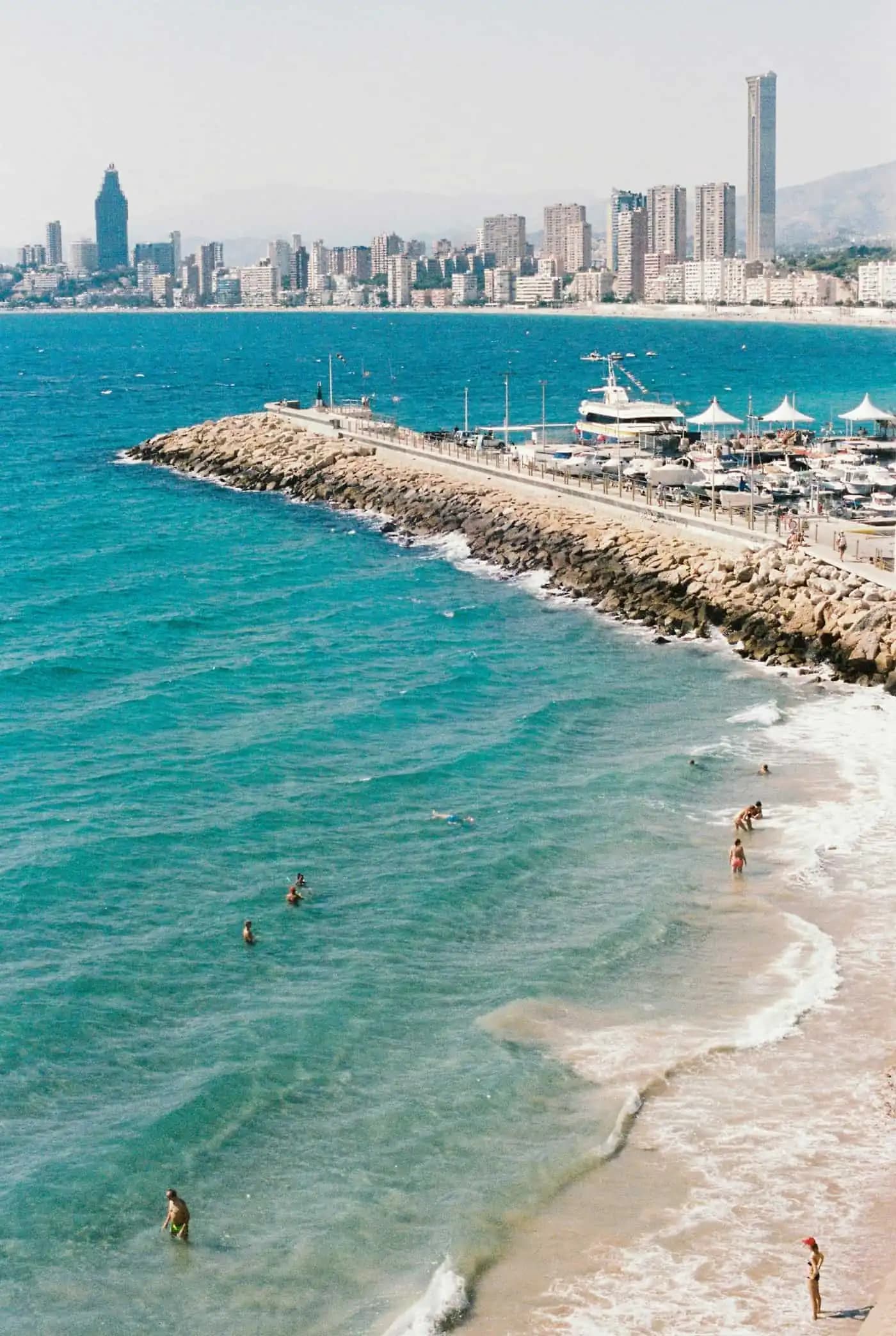 km 15 · Salt flats
Stop 2 — The pink postcard
The salt flats and their flamingos
The N-332 cuts straight through the Santa Pola salt flats natural park: pink water on both sides, mountains of salt and — almost always — flamingos feeding metres from the road.
The Tamarit tower, planted in the water, is the mandatory photo. Use the marked lay-bys — never the hard shoulder.
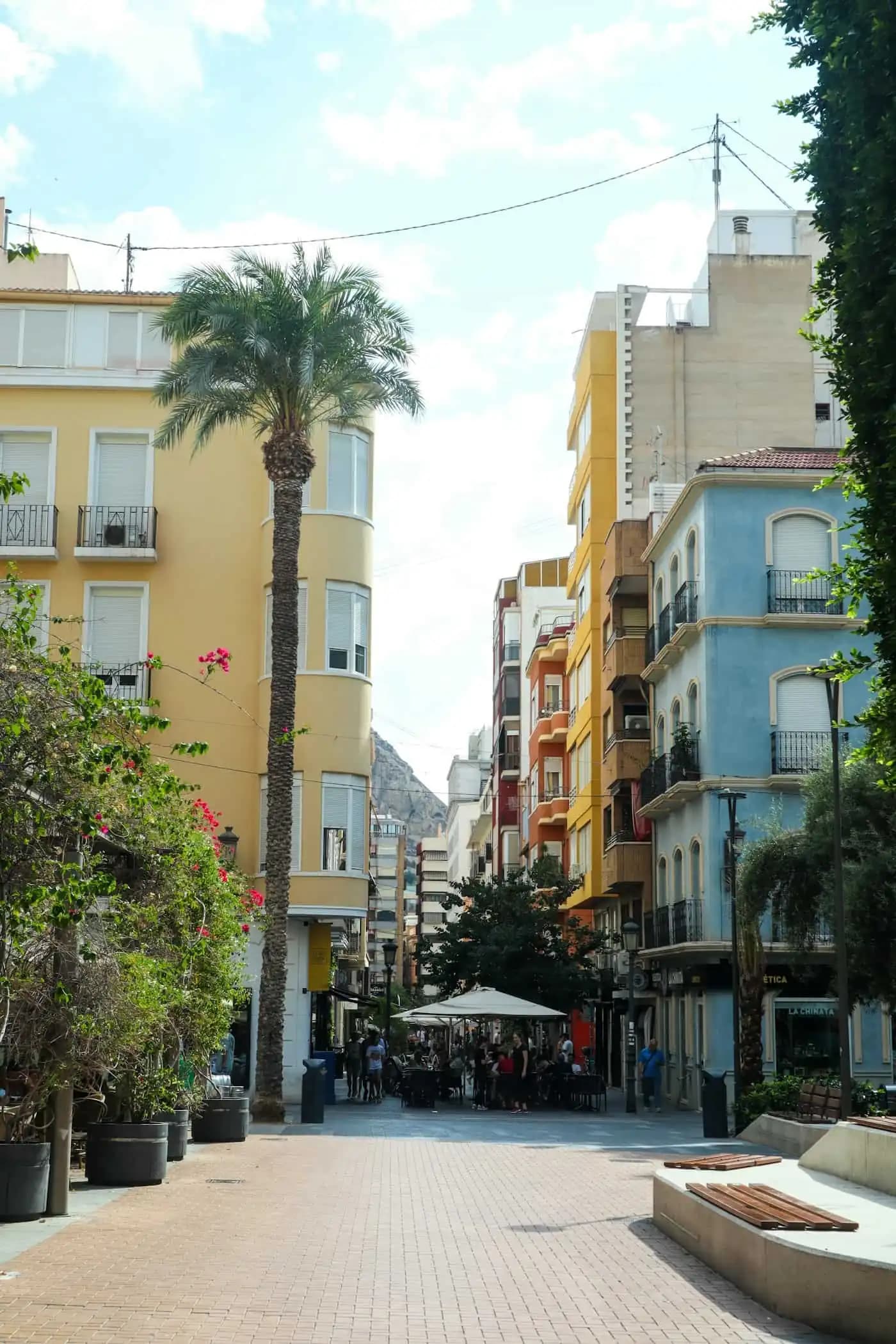 km 18 · Santa Pola
Stop 3
Santa Pola, a fishing town
A port with a genuine fish auction, a sixteenth-century fortress in the centre and terraces where the fish comes from that afternoon's catch.
Park in the port's moto bays: the day's maritime adventure starts (and ends) here.
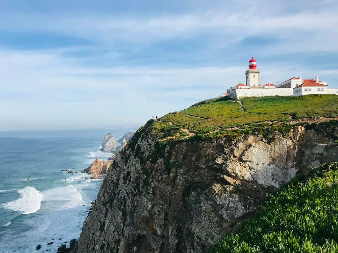 km 21 · Lighthouse
Stop 4 — The viewpoint
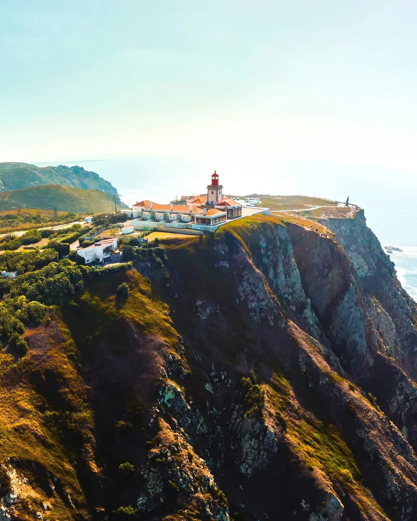
The Santa Pola cape lighthouse
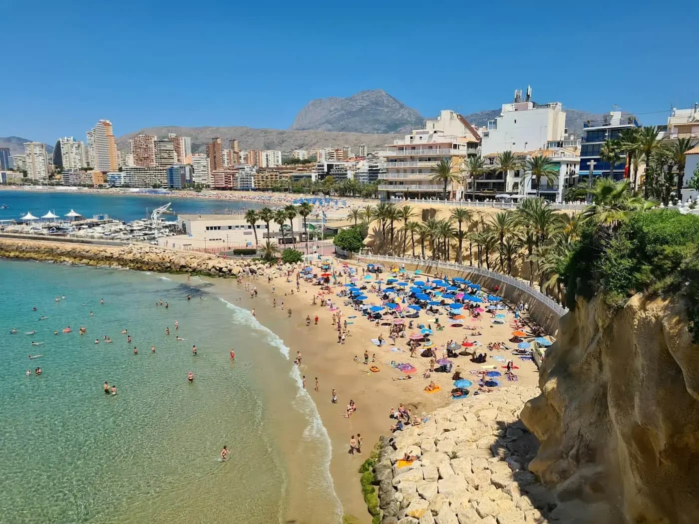
A short, easy climb to the cliff: the lighthouse crowns an ancient fossil coral reef with the best panorama of Tabarca floating opposite.
For centuries the signal left from here: pirates in sight. Today, only photos do.
 Island · Tabarca
Stop 5 — The crossing
The boat to Tabarca
From Santa Pola sails the shortest crossing to the island: in under half an hour you step onto the region's only inhabited island — a marine reserve with transparent coves and a miniature walled village.
The scooter stays parked and locked at the port. On the island you walk, snorkel and, above all, eat caldero.
 Return · Playa Lisa
Stop 6 — The golden finale
Playa Lisa and the ride home
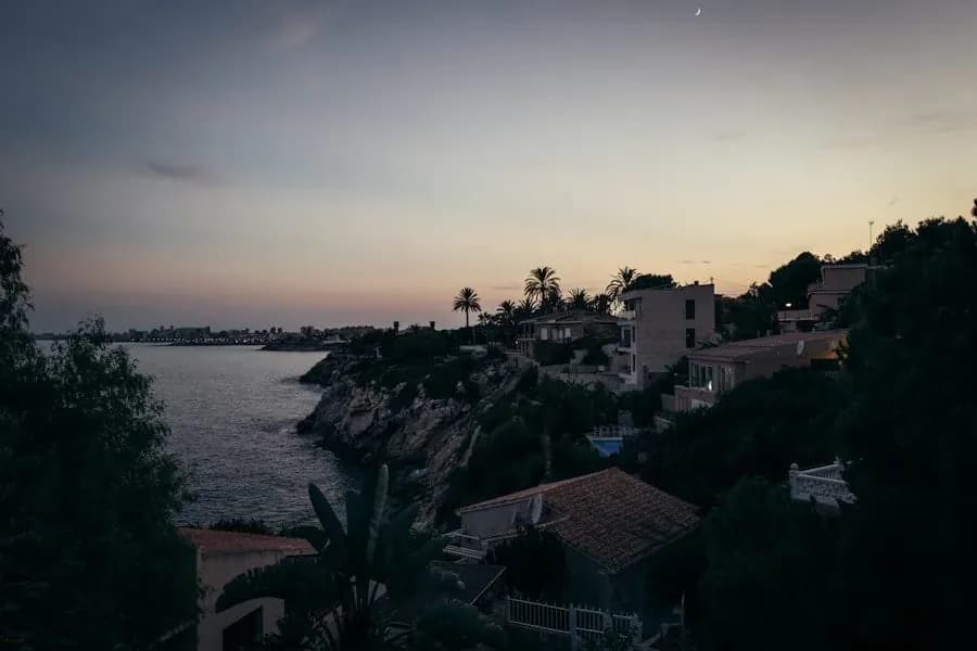
Back on land, dessert: Playa Lisa and Gran Playa, fine sand facing Tabarca, perfect for a last swim as the sun drops.
The ride back through the salt flats at sunset — the water pinker than ever — is the best possible end of route.
Why by scooter and not the boat excursion from Alicante? Because the road is half the prize.
Yes, there are direct boats to Tabarca from Alicante. But they miss the best part: the pink salt flats, the flamingos, the clifftop lighthouse — and the short crossing from Santa Pola, with more departures to choose from.
By scooter you compose the day your way: salt flats in morning light, island at noon, a swim and a pink sunset ride home. The boat is one chapter; the route is the whole book.
On and around the island
The southern essentials
Four reasons this route converts sceptics.
The caldero tabarquino
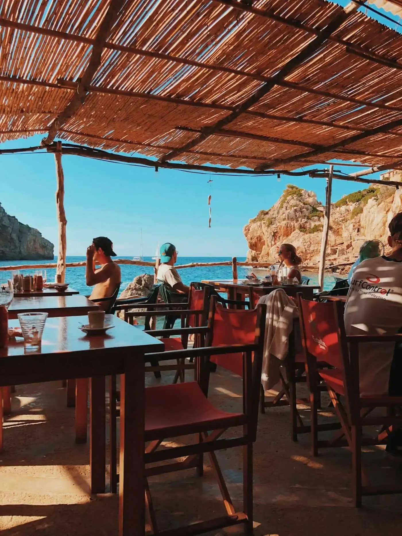
The island's dish: a silky rock-fish rice fishermen once cooked on board. Order it on arrival and eat facing the sea that provided it.
Snorkelling the marine reserve
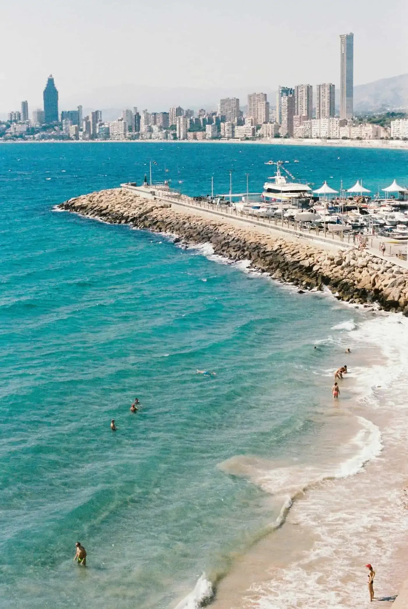
Tabarca has been a marine reserve since 1986, Spain's first: posidonia meadows and water so clear it's dizzying. Mask and snorkel in the top case, always.
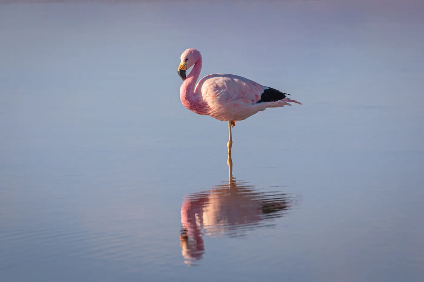
The salt-flat flamingos
Year-round residents, most active early and late in the day. Visible with the naked eye from the N-332 lay-bys; with binoculars, a show.
Towers against pirates
Tamarit in the water, Escaletes on the cape, Tabarca's walled village: the whole route is a sixteenth-century defence line against Barbary corsairs.
The perfect southern day
Timed for early flamingos and pink sunsets.
- 9:30 Leave Alicante southbound on the N-332.
- 10:00 Salt flats: flamingos in good light and the Tamarit tower photo.
- 10:45 Up to the cape lighthouse: Tabarca on the horizon.
- 11:30 Boat from Santa Pola's port — the scooter stays parked.
- 12:00 Tabarca: walls, coves and snorkelling in the reserve.
- 14:00 Caldero tabarquino with a view.
- 17:00 Boat back and a last swim at Playa Lisa.
- 19:30 Home through the salt flats at sunset: pink on pink.
Road questions
Southern route FAQs
How long from Alicante to Santa Pola by scooter?+
About 30 minutes on the flat, direct N-332 — 20 km with the salt flats as the final straight. With photo stops, allow a relaxed hour.
Are flamingos guaranteed?+
They're regular year-round residents of the natural park, most visible early and late in the day. Only observe from the marked lay-bys — never the hard shoulder.
What happens to the scooter while I'm on Tabarca?+
It stays parked in the moto bays at Santa Pola's port, disc lock on, helmets in the top case. The crossing from here is the shortest to the island.
Do I need to book the boat?+
In summer it's worth buying tickets in the morning or online to pick your time. The rest of the year, turning up at the port is usually enough.
The south is waiting
Book your Kymco 125, ride out to the salt flats in the morning light and eat caldero on a car-free island. Pick-up and drop-off in central Alicante.
Scoot Spain · Central Alicante · Every day, 8:30 – 20:00
Keep exploring